Remove barriers to spawning grounds
Salmon and steelhead need access to their birth watersheds to most successfully make their migrations from stream to ocean and then back again to spawn. On many streams across California, barriers isolate them from their original homes.
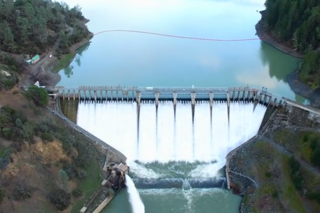 Scott Dam, on the Eel River, has been decommissioned by PG&E, presenting an opportunity for removal; the dam currently blocks over 150 miles of salmon and steelhead spawning and rearing habitat © Mike Wier
The Problem
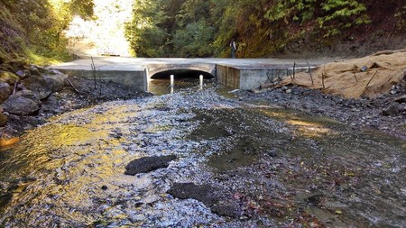
Artificial structures on streams and rivers, like road crossings or dams, block migration, often cutting off tens to hundreds of miles of ancestral habitat. These structures also change nutrient cycling, water quantity and quality, sediment movement, channel size and shape, and stream-side vegetation. All of these changes reduce both habitat and food availability.
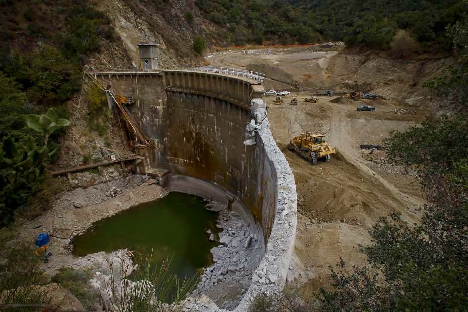 Demolition of the San Clemente Dam on the Carmel River, August 4, 2015 © Michael Macor, The Chronicle
The Solution
Remove key migration barriers where possible, and upgrade those that remain to allow fish to move over or around them
Removing or modifying migration barriers takes many forms depending on the type of barrier and its location. Solutions, like fish ladders or fish capture and transport, can address barriers to upstream and downstream passage of migrating salmon, while still providing flood control or water supply. Other solutions include removing or replacing culverts and removing obsolete dams. Exciting efforts have begun in the Central Valley to evaluate the feasibility of reintroducing salmon and steelhead to key historical habitats upstream of dams.
Examples

Resources
The California Fish Passage Forum coordinates among agency programs and private sector activities to target high priority projects and to improve the timeliness and cost-effectiveness of fish passage. Visit their website for best management practices, extensive background materials, grant opportunities, and contact information.
The Fish Passage Assessment Database (PAD) is an ongoing inventory of known and potential barriers to fish passage in California. The PAD – managed by CalFish – includes barriers, passage status changes, information on species blocked, barrier locations and other features. PAD is available as a Google Earth file, a file geodatabase and as a map service.